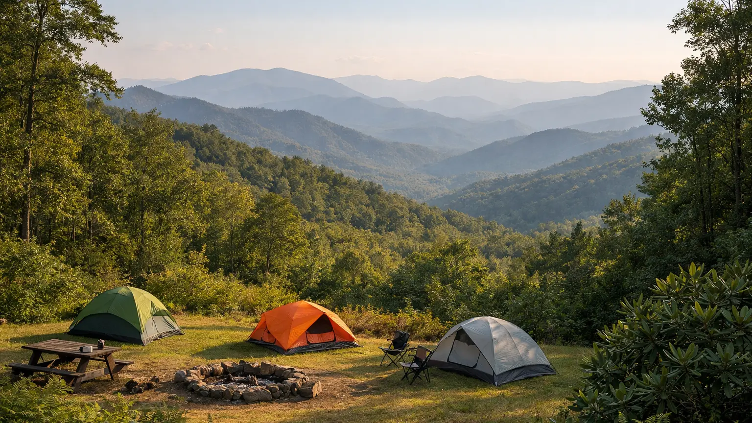
This is the starting point for our destination guides to camping in western North Carolina (WNC). It shows how the guides are organized so you can go straight to the area you are planning around. For the full list of places, see our campground directory; the guides here add planning context to those listings.
How the destination guides are organized
The guides work in three levels. Regions come first, then towns, then guides to individual campgrounds or campground areas.
- Regions. Two regional hubs split the territory: the Great Smoky Mountains region on the North Carolina side, and the WNC Mountains region for the rest of the western part of the state.
- Towns. Each town page covers camping options near that town and links to the matching listings in the directory.
- Campground guides. Single-campground and campground-area guides cover season, reservations and rules from official sources.
Great Smoky Mountains region
The National Park Service states that Great Smoky Mountains National Park covers 522,427 acres, divided almost evenly between North Carolina and Tennessee. Our region hub covers the North Carolina side only. Start with the Smoky Mountains campgrounds guide, then the town pages for Cherokee and Bryson City. For campgrounds inside the park, see the Smoky Mountain National Park camping guide, and for one specific campground, the Deep Creek camping guide.
WNC Mountains region
This region covers the rest of western North Carolina, including areas along the Blue Ridge Parkway and in the national forests. The National Park Service describes the Blue Ridge Parkway as a 469-mile route across North Carolina and Virginia, and its site lists Parkway campgrounds. The Forest Service lists four national forests in North Carolina: Croatan, Uwharrie, Pisgah and Nantahala. Pisgah and Nantahala are the two in the western mountains. Town pages are available for:
- Asheville, plus a guide to RV camping near Asheville
- Boone
- Maggie Valley
- Brevard
Guides to individual campgrounds
These guides each cover one campground or area, drawing on the managing agency’s pages:
- Standing Indian camping
- Curtis Creek camping
- North Mills River Recreation Area camping
- Stonebridge camping
- Bear Creek camping
How to use these guides
Pick a region, open the town closest to where you want to be, then follow the links to the directory listings for phone numbers, addresses and maps. Season dates, reservation windows and rules differ by campground and by managing agency (National Park Service, Forest Service or a private operator), and the guides attribute each to its source. They do not report current closures; check the managing agency’s alerts page for that.
FAQ
Does this guide cover the Tennessee side of the Smokies?
No. The Great Smoky Mountains region hub covers the North Carolina side only. The National Park Service says the park is divided almost evenly between North Carolina and Tennessee.
Where do I make reservations?
It depends on the campground. National Park Service and Forest Service campgrounds list their reservation method on their official pages, often through Recreation.gov. Private campgrounds take bookings through their own sites. Each guide points to the relevant source.
Are campgrounds along the Blue Ridge Parkway included?
The National Park Service lists campgrounds on the Parkway on its official site. Check there for current details and see the WNC Mountains region hub for nearby towns.
Which national forests are in western North Carolina?
The Forest Service lists four national forests in North Carolina: Croatan, Uwharrie, Pisgah and Nantahala. Pisgah and Nantahala cover the western mountains.
Are dates and fees on these pages current?
The guides avoid fees and attribute season dates to the official source. Confirm before you go.
Browse the full WNC campground directory, or check the Forest Service, Great Smoky Mountains National Park and Recreation.gov for current information. Confirm before you go.