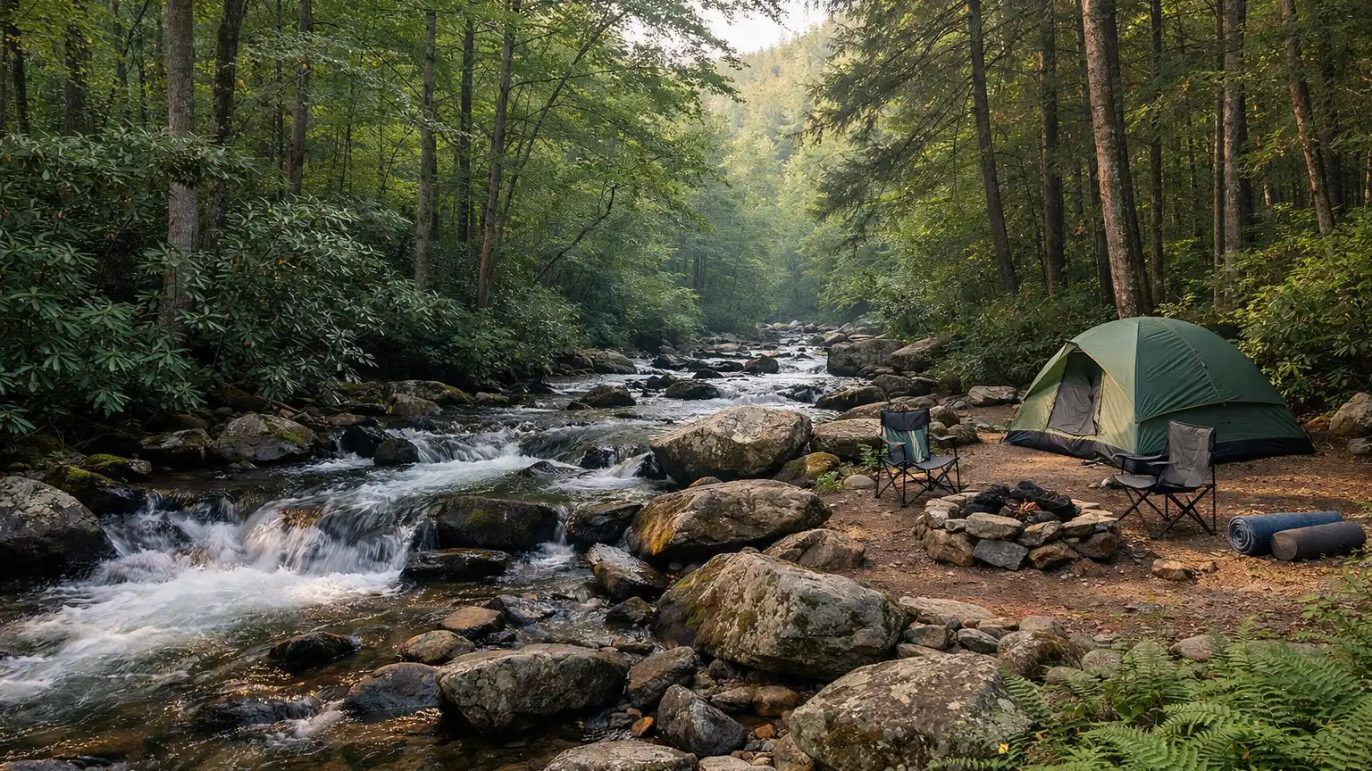
Curtis Creek Campground is a Forest Service campground in the Pisgah National Forest, part of our guide to campgrounds in Nebo, NC. This guide covers how the campground is laid out, when each official source lists it as open, how to reach it and what is nearby, so you can plan a trip before you go.
For the campground’s exact name, phone number and map, see the Curtis Creek Campground listing, phone and map. This page focuses on planning the stay.
Overview: Curtis Creek Campground, NC
Curtis Creek Campground, NC, is managed by the U.S. Forest Service. The Forest Service describes it as an RV and tent campground with a campground host on site, and places it under the Grandfather Ranger District of the Pisgah National Forest. Its Forest Service page gives the coordinates as 35.654952, -82.175479.
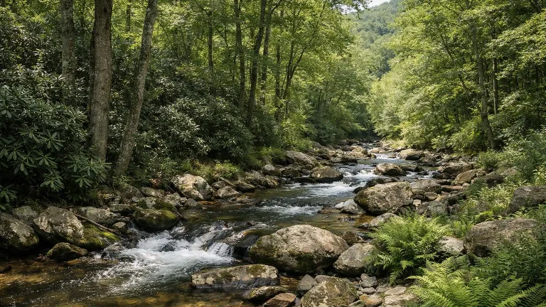
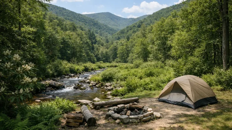
Recreation.gov describes the campground as “nestled in the mountains at the base of the Blue Ridge” near Old Fort, NC, at 2,000 feet elevation, with trout streams and old-growth forests. It also states that the campground is “located in the first tract of National Forest land in the eastern US at the site of an old Civilian Conservation Corp (CCC) camp.” That history comes from the Recreation.gov description, not from the Forest Service page.
Sites and facilities
Recreation.gov lists 24 campsites across three loops:
- One loop is fully accessible (barrier-free) and can take RVs up to 35 feet.
- A second loop has tent-only sites.
- A third loop has tent-only sites in an open grassy area.
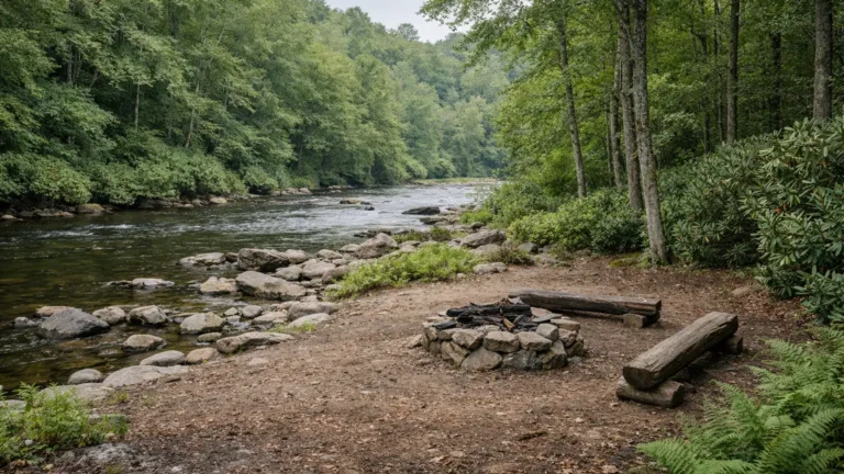
According to Recreation.gov, every site has a tent pad, picnic table, lantern post and fire ring, and the campground has bear-proof trash and recycling receptacles and a campground host. The Forest Service page also mentions a campground host and a self-service fee station. The Forest Service does not describe the loops or site count on the page reviewed.
Restrooms and drinking water: the two sources disagree
The two official sources do not agree on restrooms and water, and this guide does not reconcile them.
- The Forest Service page states: “Restrooms are not available at this site” and “Potable water is not available at this site.”
- Recreation.gov lists vault toilets and drinking water pumps among the campground’s facilities.
Because the listings conflict, check the Forest Service page and Recreation.gov again before you go, and plan for the possibility of bringing your own drinking water.
Season and reservations
The two official sources also give different opening information:
- The Forest Service page lists a season-of-use start date of “March 31.”
- Recreation.gov states: “Campground is open April 1 to December 31.”
Recreation.gov describes the sites as first come, first served, and does not specify a stay limit. The Forest Service page does not give a reservation procedure or a stay limit, so ask the Grandfather Ranger District if you need either. Fees, dates and availability change, so confirm them with the Forest Service before you go.
Getting there and location
Recreation.gov gives these directions: from I-40 Exit 73, take Catawba Ave. north 0.5 miles to US-70E, turn right and continue 1.8 miles to Curtis Creek Rd., then turn left onto Curtis Creek Rd. It places the campground six miles from Old Fort, 15 miles from Black Mountain and 30 miles from Asheville.
The Forest Service page lists the Grandfather Ranger District office at 109 E. Lawing Drive in Nebo. Use the Forest Service page for current access information and the listing page for the map.
Things to do nearby
The two sources list activities differently. The Forest Service page lists day hiking and river or stream fishing. Recreation.gov lists fishing, swimming, hiking, picnicking, scenic driving, wildlife viewing, horseback riding and biking. This guide attributes each activity to the source that names it and does not name specific trails at the campground, because neither page reviewed gives trail names.
Places with official pages:
- Catawba Falls: the Forest Service describes a trail along the headwaters of the Catawba River to a 100-foot cascading waterfall, with remnants of a 1920s hydropower dam along the way. It lists the loop at 3.5 miles, with 580 stairs. The page carries a post-Hurricane Helene alert about the upper viewing platform and the Wildflower Trail; read that alert on the Forest Service page for current status. Recreation.gov also names Catawba Falls among the attractions near Old Fort.
- Blue Ridge Parkway: the National Park Service manages the parkway. Recreation.gov places it 7 miles from the campground.
- Mount Mitchell State Park: North Carolina State Parks states that at 6,684 feet, Mount Mitchell is the highest point east of the Mississippi River, and lists about 40 miles of hiking routes, including the Mountains-to-Sea State Trail. Recreation.gov names it as a nearby destination.
The Grandfather Ranger District has a district page with more recreation information.
Rules to know
- The Forest Service page states “No alcohol is allowed” and carries an alert about alcohol restrictions at Curtis Creek and Wiseman’s View. Read the alert on the Forest Service page.
- Recreation.gov lists bear-proof trash and recycling receptacles. Use them for trash.
- Each site has a fire ring. Neither page reviewed gives fire regulations, so check current fire restrictions with the Forest Service.
- Neither page reviewed states a pet policy or a stay limit.
For closures, alerts and conditions, rely on the Forest Service page rather than a third-party summary.
Nearby campgrounds
- Catawba Falls Campground, listed under Old Fort.
- Buck Creek RV Park, listed under Marion.
- Armstrong Creek RV Park & Cabins, listed under Marion.
The Old Fort campground guide lists more options in the area.
FAQ
How many sites does Curtis Creek Campground have?
Recreation.gov lists 24 sites across three loops.
Can RVs stay at Curtis Creek?
Recreation.gov states that one fully accessible loop can take RVs up to 35 feet. The other two loops are tent-only.
When is Curtis Creek Campground open?
The Forest Service page lists a season start of “March 31.” Recreation.gov lists April 1 to December 31. Confirm dates before you go.
Does the campground have restrooms and drinking water?
The sources conflict. The Forest Service says restrooms and potable water are not available; Recreation.gov lists vault toilets and drinking water pumps.
Do I need a reservation?
Recreation.gov describes the sites as first come, first served. The Forest Service page does not state a reservation procedure.
Is alcohol allowed at the campground?
The Forest Service page states that no alcohol is allowed and carries an alcohol restrictions alert for Curtis Creek and Wiseman’s View.
Plan your stay with the Curtis Creek Campground listing, phone and map, the Forest Service page and Recreation.gov. Fees, dates and conditions change, so confirm before you go.